Today I had the honor of initiating Graham into the joys of climbing Kazahari Rindo. It was a beautiful day, if a bit hot. Graham's reaction at the top, I think he said something like "that was a bit too much". By the time he uploaded his ride GPS track to Strava it had become "Madness, Insanity, Lunacy." Actually, I think he said this as well as the top.
 |
| "Madness, Insanity, Lunacy!" |
Yes, it really is 2.0 on the MOB Wada Toge scale, or 0.54 on the DGL Mortirolo ("rolling death"?) scale. Not an easy climb.
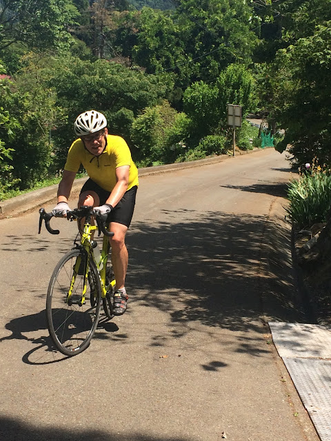 |
| Graham climbs, just past the Kinoko Center as we enter the rindo portion. |
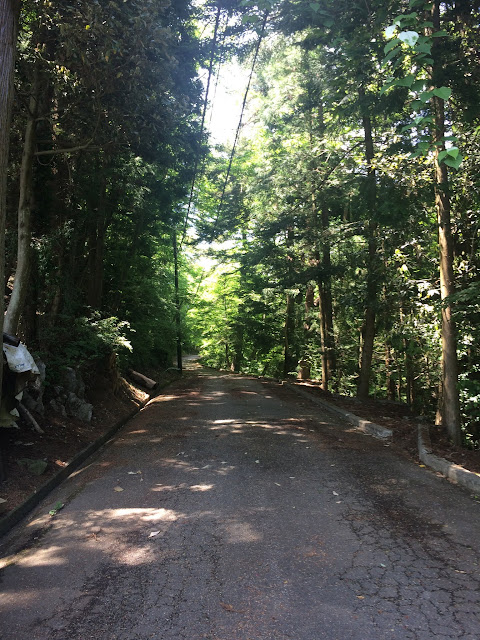 |
The rindo ... cannot be as steep as what we just came up, right?
Well, at least there are some sections that offer a short breather. |
 |
View from around 1050-1060 meters elevation.
Still some nasty stretches ahead to climb the last 75 meters elevation or so! |
The return down the usual route via Tomin no Mori was fast and uneventful, ... except Graham seemed a bit exhausted while ordering lunch at the Tomin no Mori rest area, becoming flummoxed at concepts such as no cold sansai-udon. And he got even more confused when told that I (who had been ahead in line) had gotten the last rice dish. Been there.
I met and rode on much of the descent with a Japanese cyclist visiting from Aichi, who said he had parked his car in Oume and come over Kazahari from Okutama-ko, and meeting and chatting at the top with a Brit named Ian, who said he lives in Komazawa (North side of 246) and rides out on Sunday mornings with the "Tokyo Cranks".
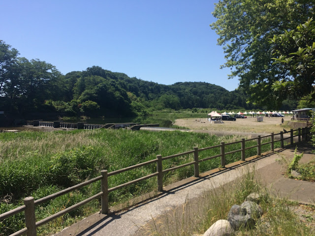 |
| Near the mouth of the Akigawa |
 |
| Same |
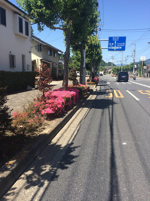 |
| Everywhere azaleas this time of year. From my neighborhood to Itsukaichi. |
 |
| Photo from the end of the main route up the Kita Akigawa. Two women cyclists (one quite elderly) |
 |
| Photo taken by the elderly woman cyclist. |
 |
| Today's ride. 154 kms and either 3600 or 1600 meters, depending on whose GPS you believe. |
 |
| Basically just one big hill ... |


3 comments:
Thank you David. It was fun. I had about 1350m climbing on my garmin before uploading. That sounds about right. You dropping your iPhone may not have helped your stats of course.
Hi Graham: I wish I could credit/blame the dropped iPhone. Then I would just buy some replacement insurance and drop one every time I want to log more climbing. No, Strava has me at almost 22K meters climbing for May -- even with under/partial recording of the SR600's 11K+ meters. That puts me at #868 out of 117,000+ participants and #11 in Japan as of yesterday (will slip as people upload Sunday rides ...) All of it looks reasonably accurate except yesterday. But I have seen similar glaring mis-recordings in non-dropped smartphone GPS (and my own Garmin Edge 800 Nishi Izu recording in clouds/rain) recently. The elevation gain recordings are just plain unreliable.
Nice one - and definitely one of the most challenging climbs near Tokyo. How was the traffic on the way down? I don't really like Kazahari because of all those speeding motorbikes and sports cars.
On the accuracy of the Garmin (I think I have blogged about this before, so apologies for any repetition). When you switch on the device, it calibrates the altitude by satellite reception and the starting altitude is pretty accurate. As you run the recording, it records any changes in altitude through changes in the barometric pressure it measures. This is fairly accurate, but still tends to overestimate real changes slightly as barometric pressure may change not only because of changes in altitude. You can see this when you take a long break and the recorded altitude goes either up or down. I go by the total that is recorded in this way as it tends to be the best available estimate of the real altitude gained (or lost, if you look at this reading too).
When you upload the data to Garmin, Strava or other such services, the altitude gained is recalculated and the original total recorded is lost. Garmin has two settings: one that uses the time-stamped recordings to calculate the total, and another that uses the altitude lines that come with Google maps. The accuracy of the former depends on what setting you have used: e.g. a recording every second produces more swings than a setting of recording only changes in location (which records fewer points). Google data invariably overestimates the total as it works only in increments of 20 meters and ignores tunnel data. So by how your actual is overestimated depends on both your device settings and your Garmin site settings. Strava seems to use only map data, so ends up overestimating for the latter reason.
Because of all of this, I don't go by what any of these sites say, but just by what I recorded on the day on the device, and try to remember it.
Post a Comment